FAA Part 107 Certified
Commercial Drone Documentation
High-resolution aerial imagery, construction progress capture, building documentation, and mapping support for commercial properties across South King County and the Seattle area.
© 2026 SkyTrak Media. All rights reserved.
CONSTRUCTION PROGRESS
A Better Perspective
From Above
Regular aerial documentation gives project teams a clear visual record of site conditions and construction progress. SkyTrak provides repeatable aerial photography and site overviews that make it easy to compare progress over time, and communicate with stakeholders.
On-call, recurring weekly, biweekly, and monthly capture available
© 2026 SkyTrak Media. All rights reserved.
MAPPING & SITE CAPTURE
Aerial Data for
Better Project Visibility
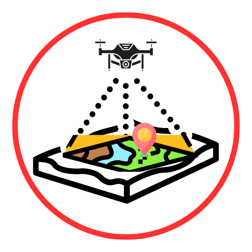
High-overlap aerial imagery can be captured for orthomosaics, site maps, photogrammetry, progress comparison, and project documentation. Repeatable flight planning helps create consistent imagery throughout the life of a project.
RTK-enabled DJI Enterprise equipment for accurate, repeatable aerial data collection
© 2026 SkyTrak Media. All rights reserved.
FAA PART 107 CERTIFIED • INSURED

Safety. Experience. Reliability.
SkyTrak Media is an owner-operated UAS commercial drone service serving the greater Seattle area. Every mission is personally planned and flown by an FAA Part 107-certified pilot using professional DJI Enterprise equipment.
Experience includes commercial façade documentation,
RTK-enabled aerial mapping, construction-site capture,
and overall jobsite progress
© 2026 SkyTrak Media. All rights reserved.