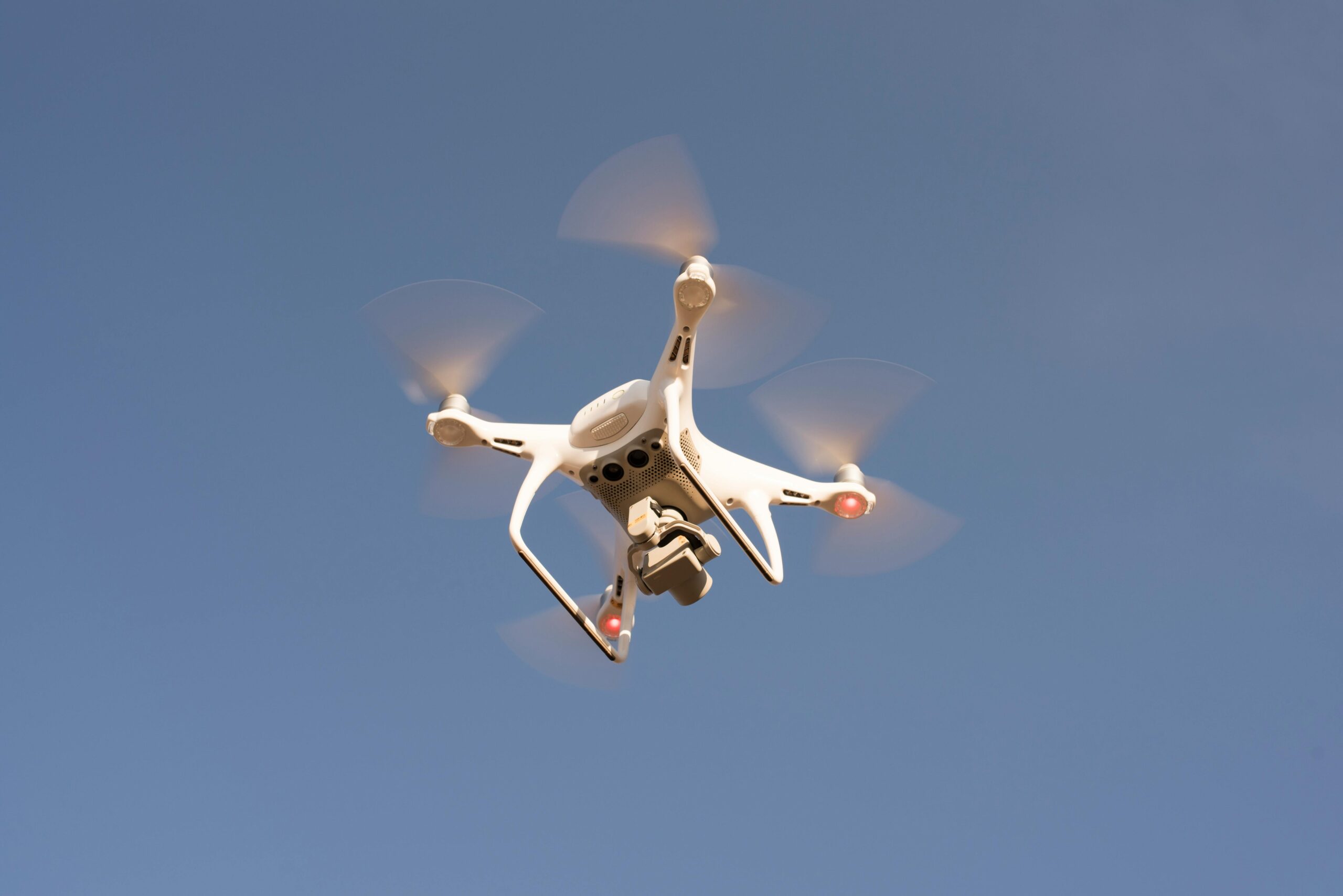
Drones offer insurers a safer, faster, and more cost-effective way to assess risk and document damage. Their compact size and maneuverability provide detailed aerial views of rooftops, structures, and disaster zones. Without sending adjusters into unsafe conditions, drones capture accurate visuals that support underwriting inspections and post-claim assessments. This technology improves accuracy, reduces turnaround time, and enhances customer service, helping insurers minimize liability and deliver better results.
WHY USE
DRONE FOR
INSURANCE
INDUSTRY
Insurance industries are actively deploying and expanding the potential of drone technology for better risk management through improved data collection, analysis, and actionable insights resulting in greater efficiency in claims adjudication, processing, and overall customer experience.
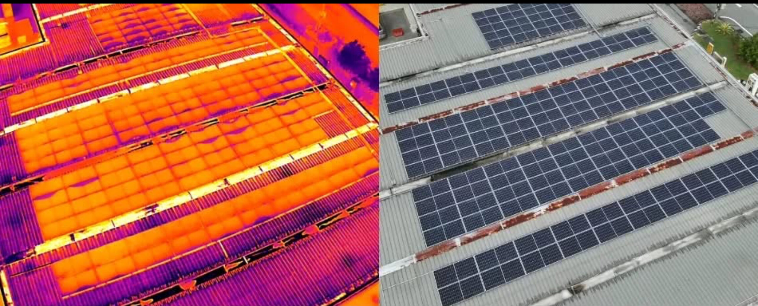
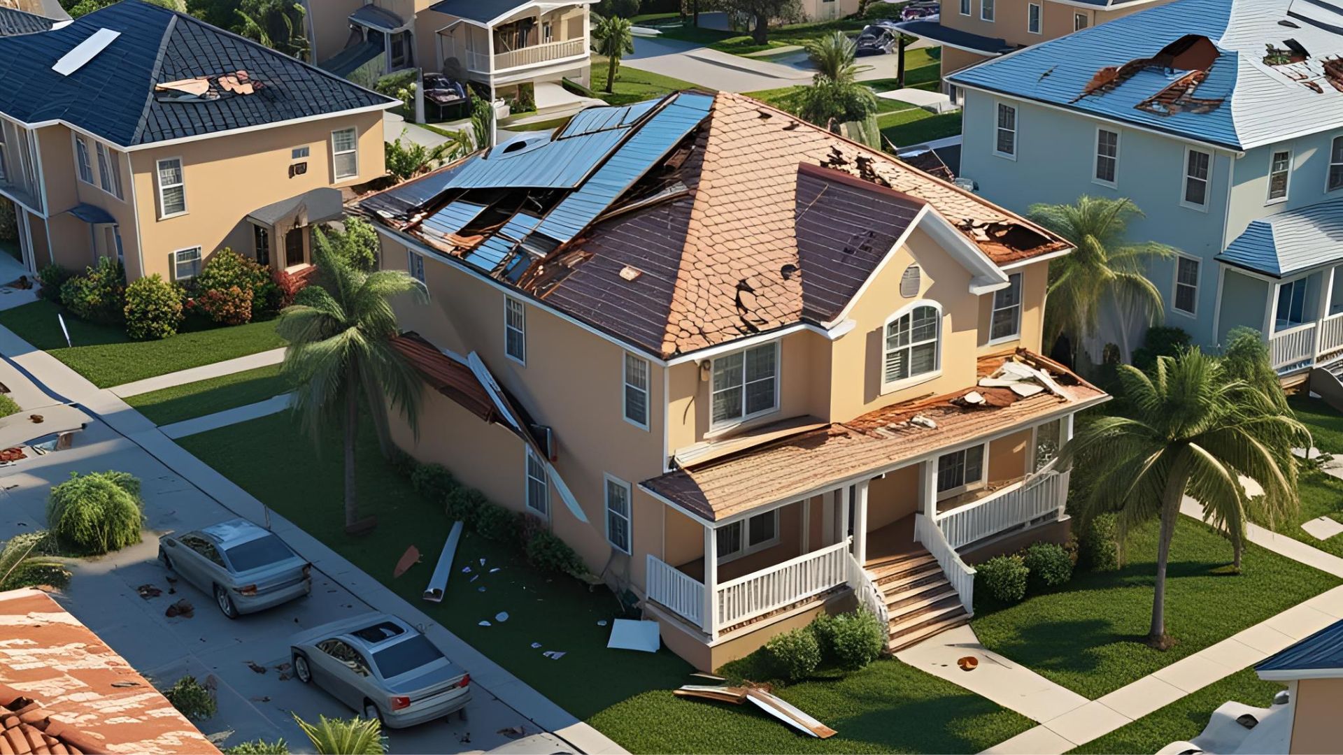
ROOF
INSPECTION
Insurance companies now use fully-autonomous drone systems to inspect roofs faster and safer—reducing costs, improving accuracy in risk assessment, and enhancing the customer experience without the need for manual inspections.
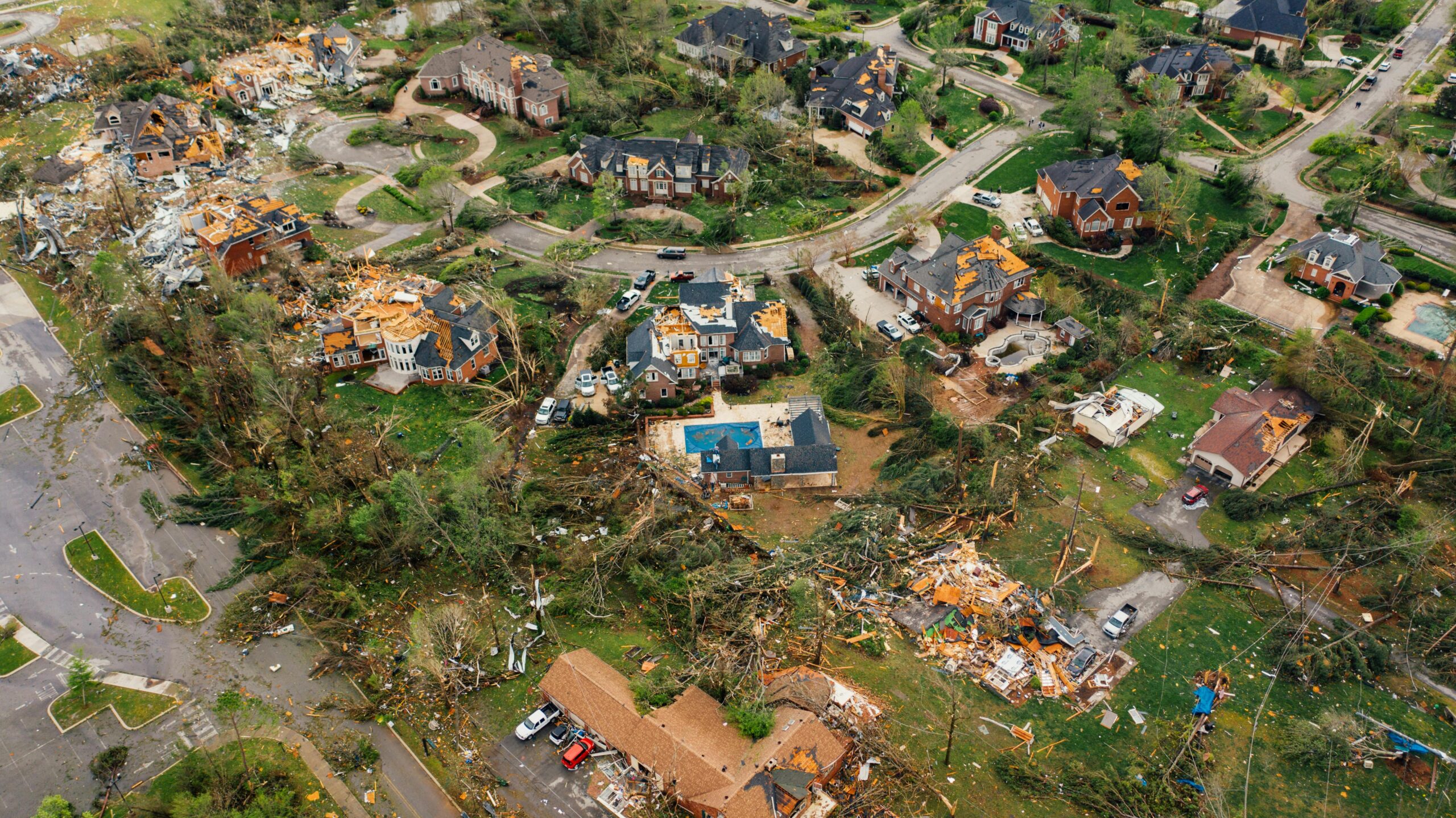
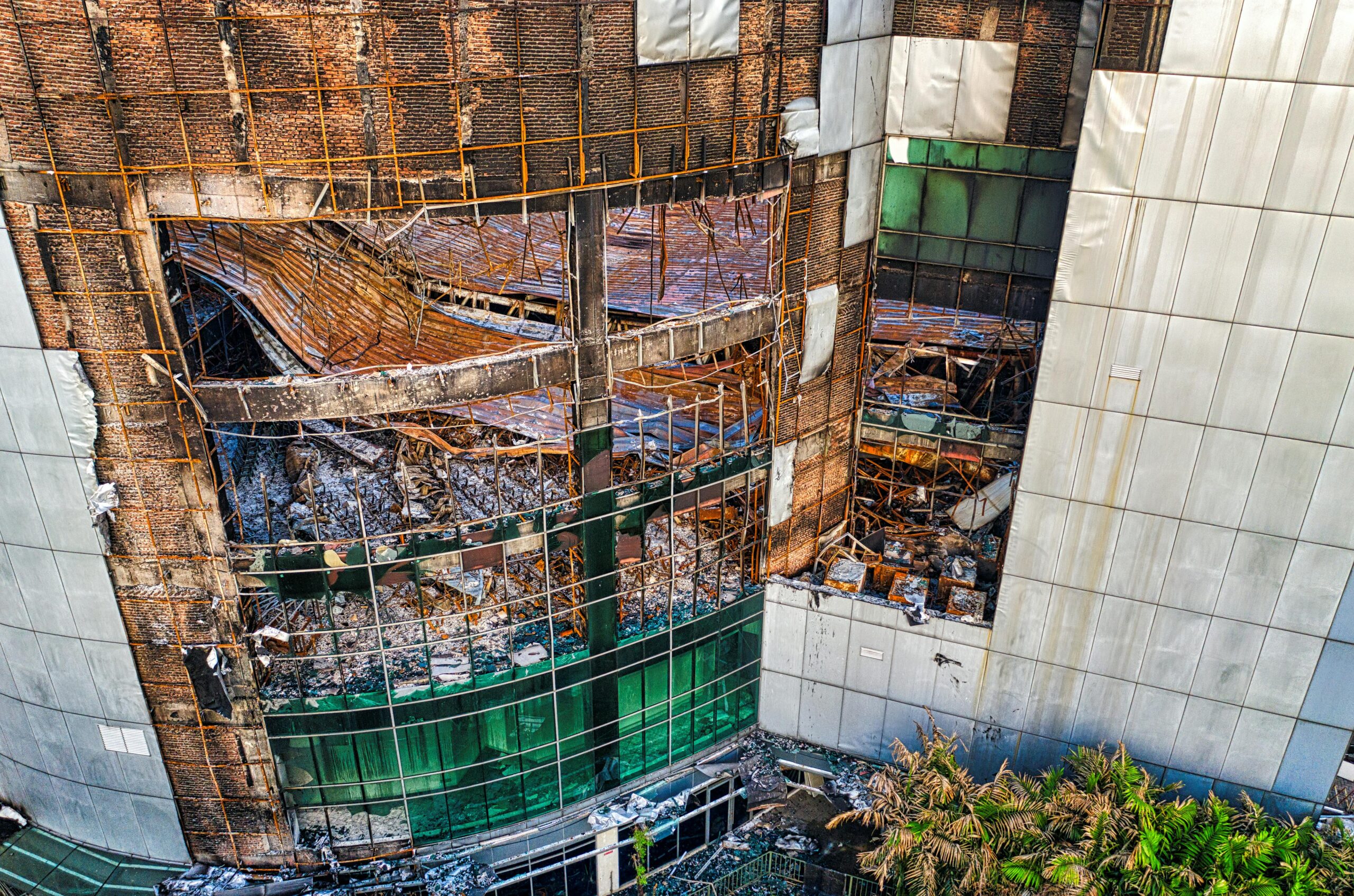
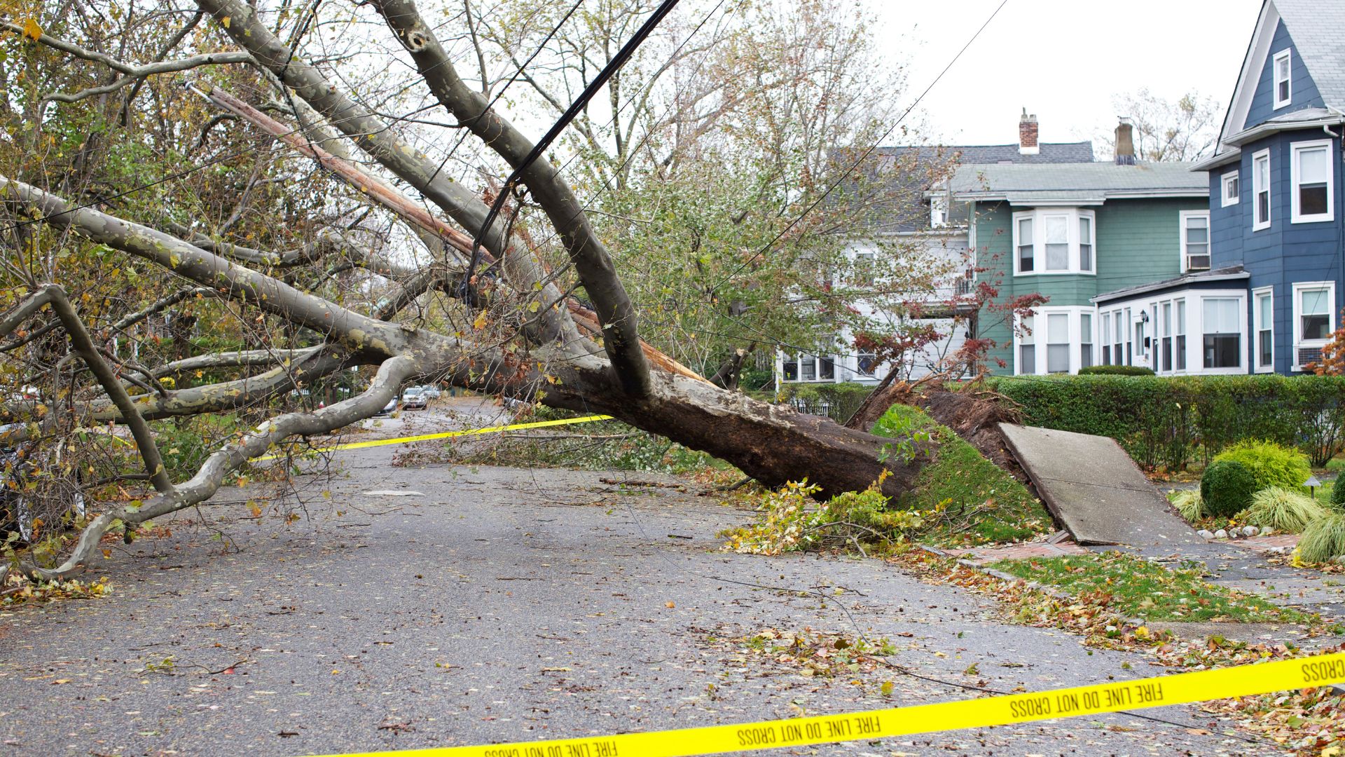
DAMAGE
INSPECTION
Drone-based damage inspections are fast, cost-effective, and precise. They quickly assess rooftops, bridges, and hard-to-reach areas, helping reduce equipment downtime and identify damage, wear, or maintenance needs with greater efficiency.
WHAT INDUSTRY
EXPERTS SAY
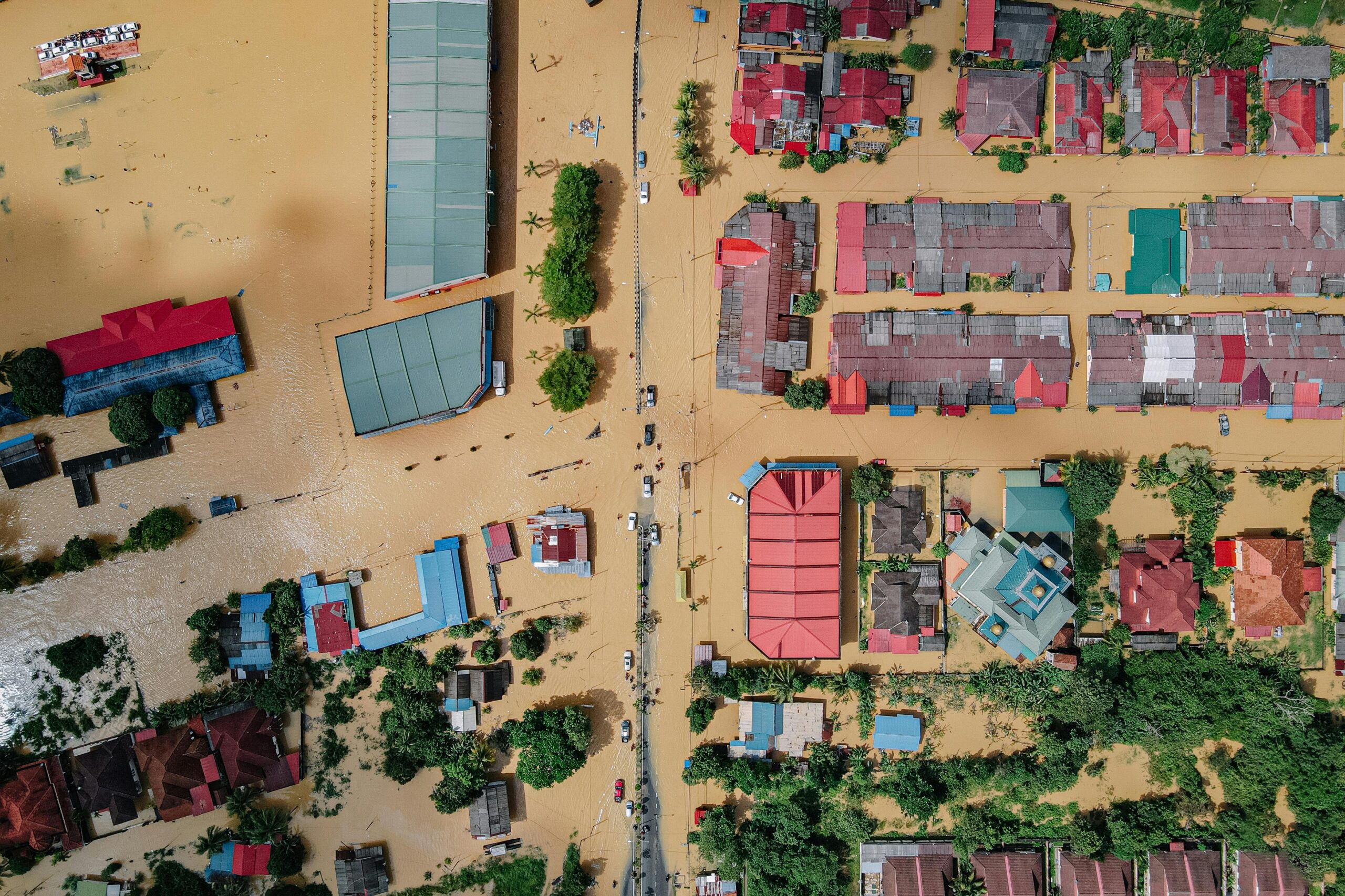
“Aerial imagery shot by drone helps review damage from a safe location without the risks associated with a physical site visit” Insurance Astro Group
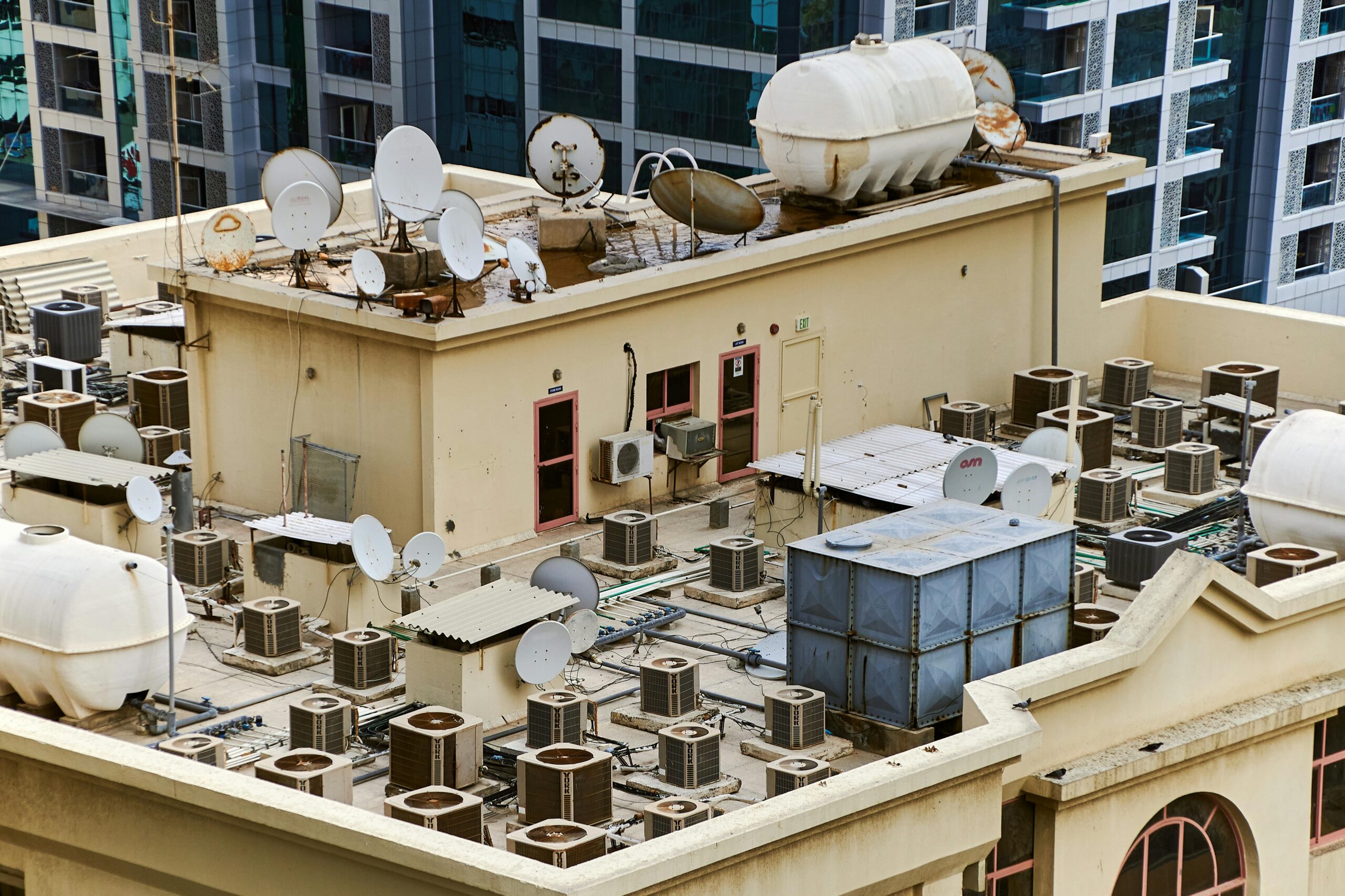
OUR WORK IN PROGRESS
A drone can elevate your ability to assess, document, and resolve claims with speed and precision. From safer inspections to faster settlements, drone imagery enhances your reputation as a modern, proactive insurance provider.
GET A QUOTE
Talk to us about your job requirements and let us create a custom drone based solution for your company.
While SkyTrak Media is equipped to collect high-quality aerial data, please note that we do not interpret survey-grade information. For projects requiring precise measurements, a licensed land surveyor or survey engineer is still required. SkyTrak Media can collaborate with your licensed surveyor by providing aerial data; however, our services do not replace the role or legal authority of a licensed surveyor in any U.S. state. Additionally, we do not overlay property boundaries on residential or commercial lots — developed or undeveloped — for sale or marketing purposes. This is due to the same legal and professional limitations outlined above. This policy is not unique to our company — no drone service provider can legally interpret or certify survey data without a licensed surveyor on staff.
SECURE FORM
HOW CAN WE HELP?
Please provide details about your inquiry
By submitting, you agree to our
Privacy Policy
. and to assist SkyTrak drone services to better serve your needs.
