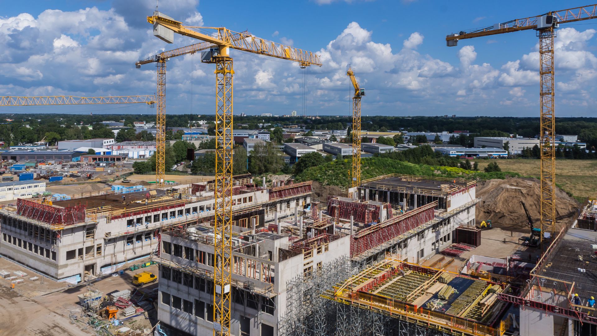
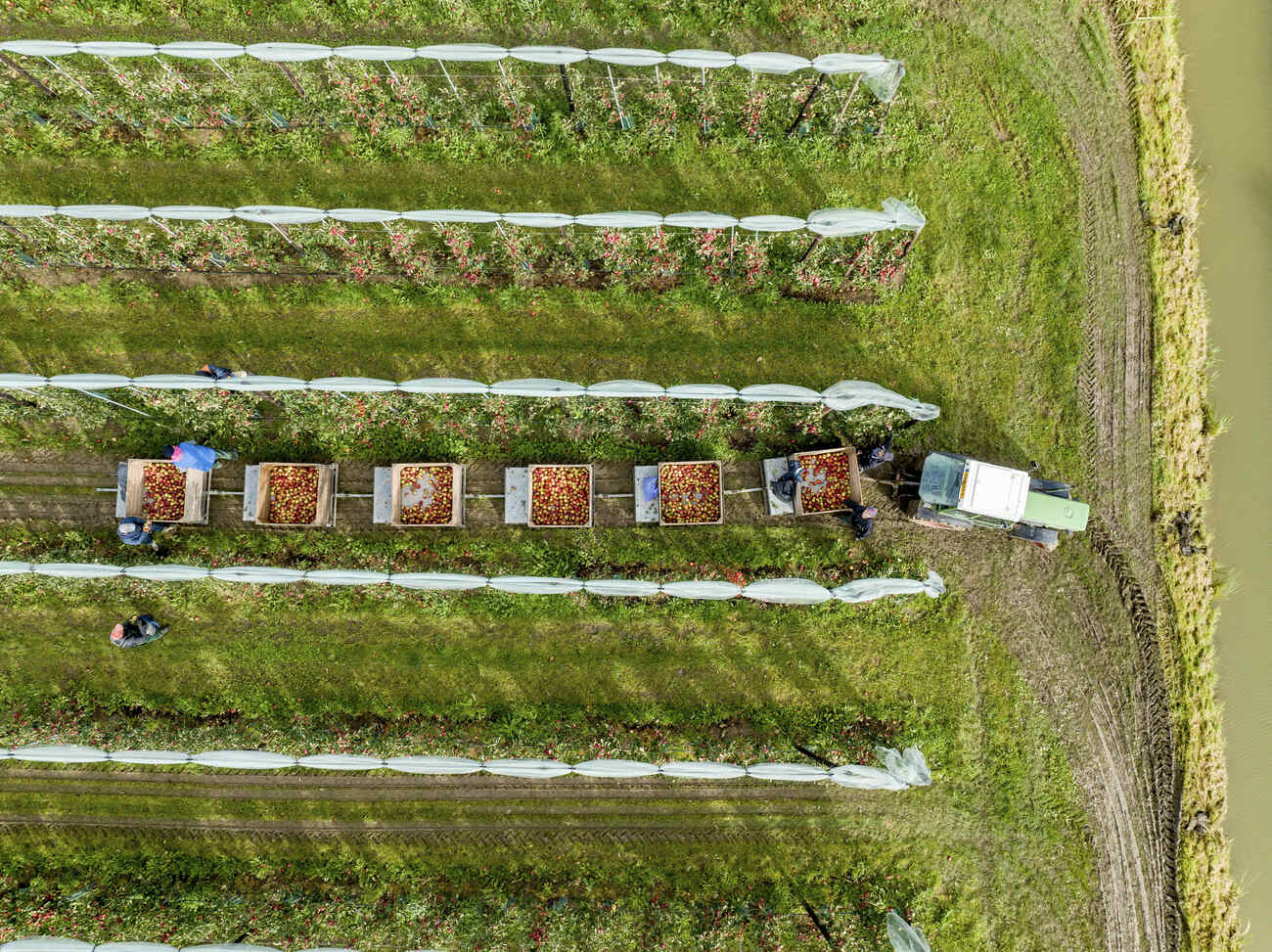
Drones provide fast, safe, and affordable access to critical infrastructure and assets. From assessing equipment wear and structural integrity to monitoring crop health and viability, drone inspections support timely maintenance and informed decision-making. This technology offers a highly efficient way to inspect communication towers, power grids, commercial solar panels, and large building exteriors.
WHY USE
DRONE FOR
ASSET
INSPECTION
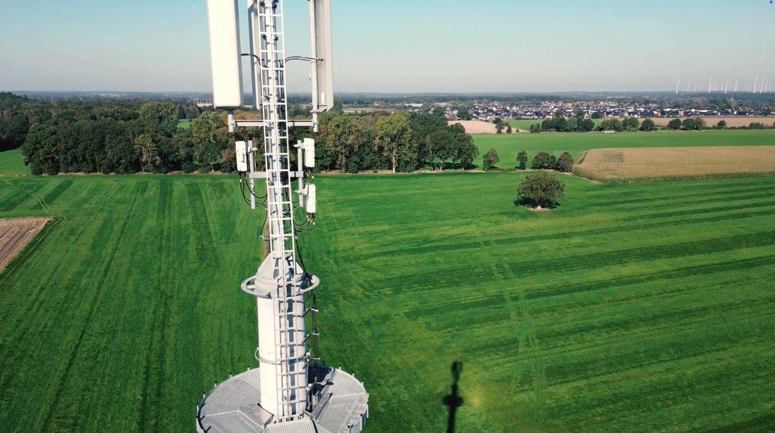
Drone inspections deliver critical data faster and more affordably than traditional methods, while minimizing human risk. They can access hard-to-reach areas—above, beneath, and alongside assets—enabling safer, more comprehensive monitoring and evaluation.
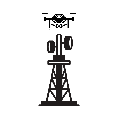
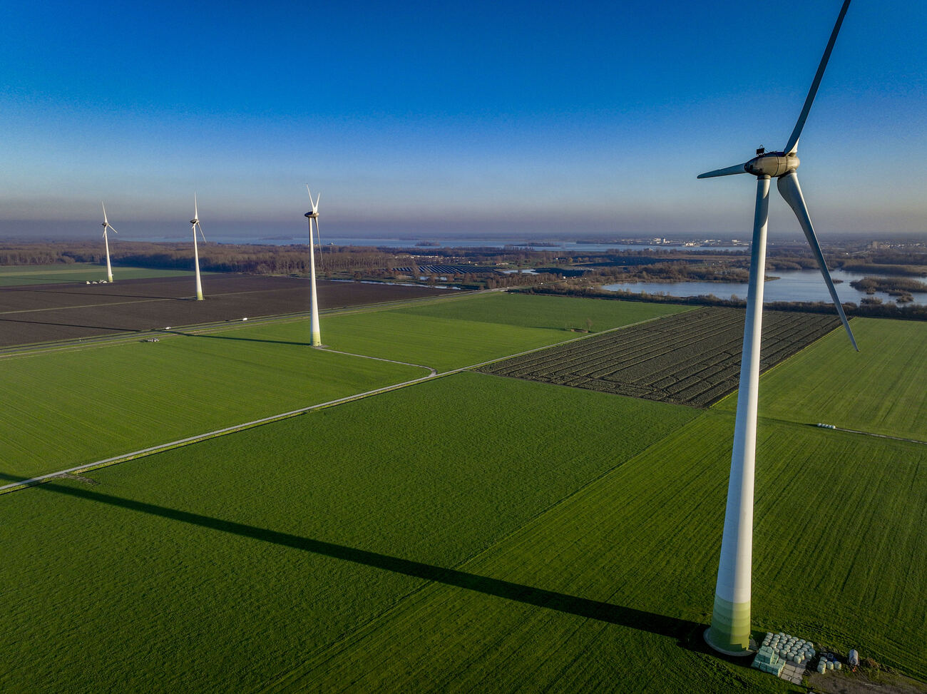
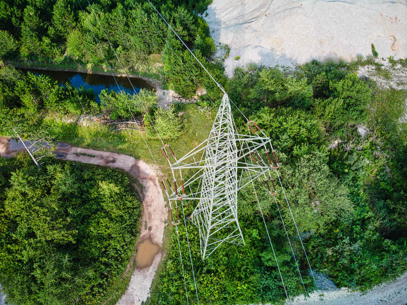
INFRASTRUCTURE
INSPECTION
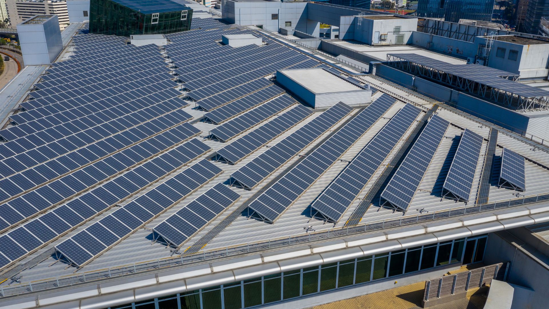
Drone technology is revolutionizing infrastructure inspections by enabling fast, safe, and cost-efficient assessments. From gas pipelines and solar arrays to towers, bridges, and power lines—inspections are completed faster and more affordably, improving operational efficiency and minimizing disruption.
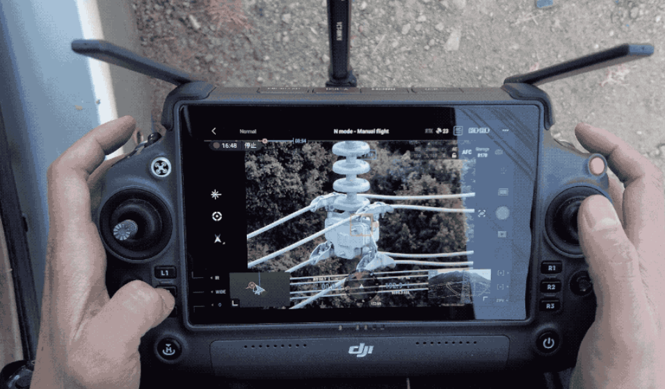
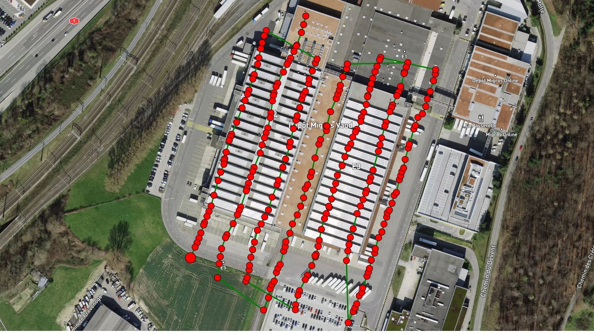
ASSET
INSPECTION
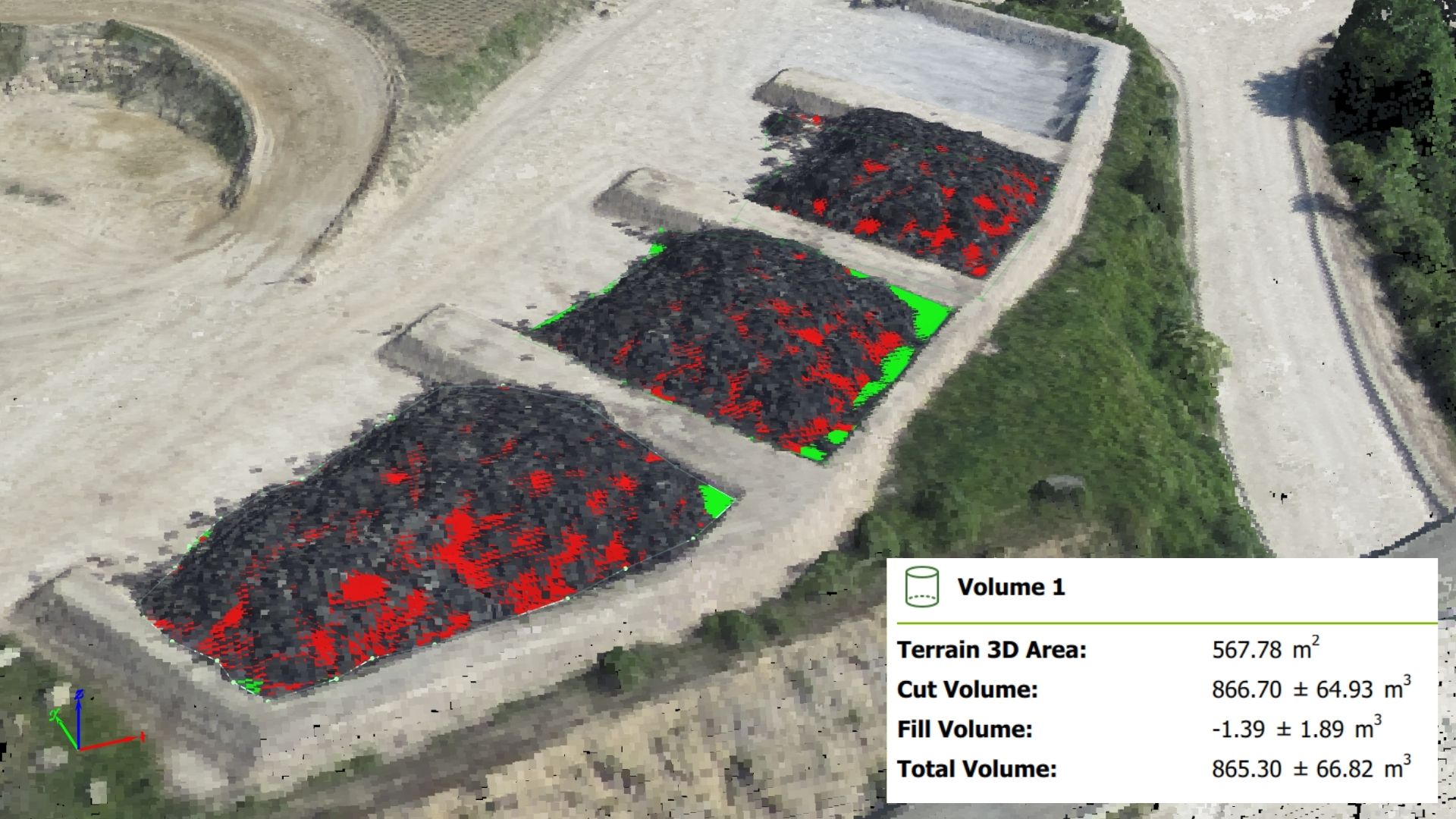
Drone technology enhances productivity by reducing manpower requirements and dramatically cutting inspection time. It captures valuable geospatial data, high-resolution images, and HD video—providing a comprehensive view of asset conditions for faster, data-driven decision-making.
WHAT INDUSTRY
EXPERTS SAY
“Drone innovation is elevating asset oversight to unprecedented levels.” — Powersource —
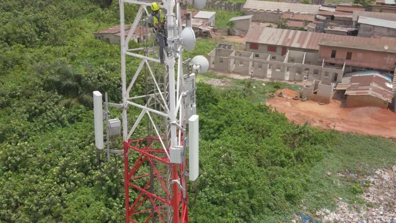
OUR WORK IN PROGRESS
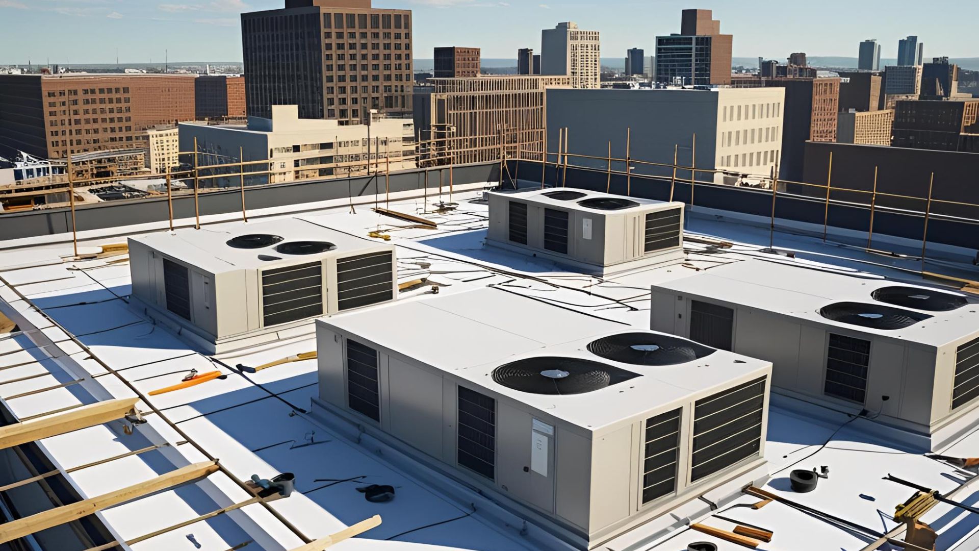
A drone helps you monitor high-value infrastructure with accuracy and safety. Whether it’s remote towers or rooftop systems, aerial inspections reflect your commitment to modern, cost-effective asset management.
GET A QUOTE
Talk to us about your job requirements and let us create a custom drone based solution for your company.
While SkyTrak Media is equipped to collect high-quality aerial data, please note that we do not interpret survey-grade information. For projects requiring precise measurements, a licensed land surveyor or survey engineer is still required. SkyTrak Media can collaborate with your licensed surveyor by providing aerial data; however, our services do not replace the role or legal authority of a licensed surveyor in any U.S. state. Additionally, we do not overlay property boundaries on residential or commercial lots — developed or undeveloped — for sale or marketing purposes. This is due to the same legal and professional limitations outlined above. This policy is not unique to our company — no drone service provider can legally interpret or certify survey data without a licensed surveyor on staff.
SECURE FORM
HOW CAN WE HELP?
Please provide details about your inquiry
By submitting, you agree to our
Privacy Policy
. and to assist SkyTrak drone services to better serve your needs.

